Racing LinesCircuits in Relief

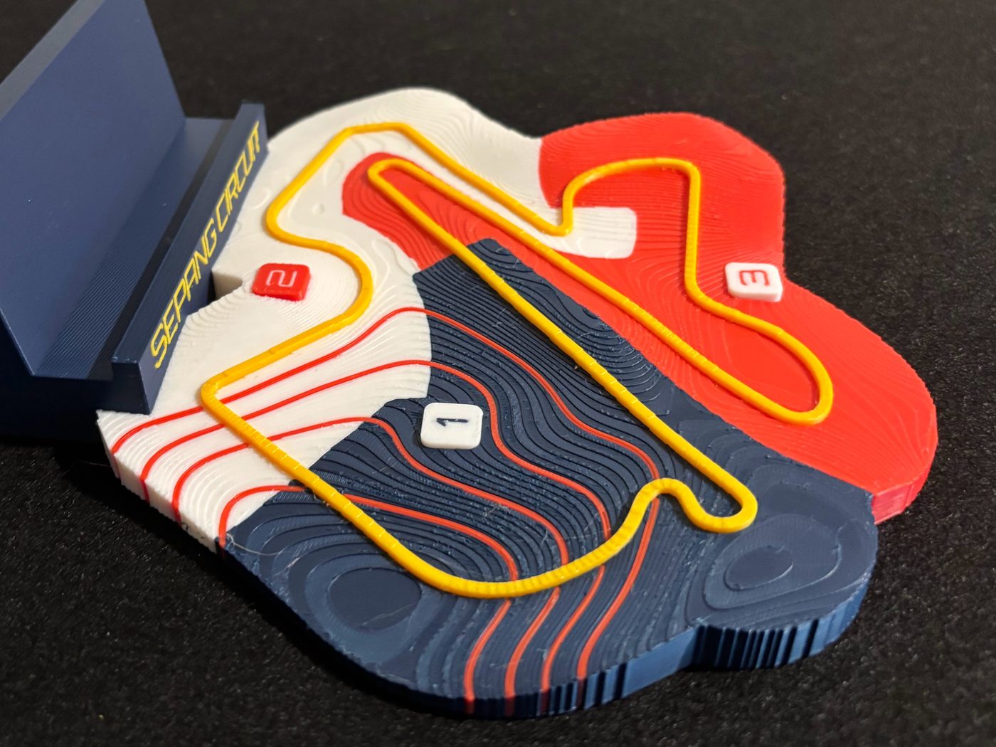
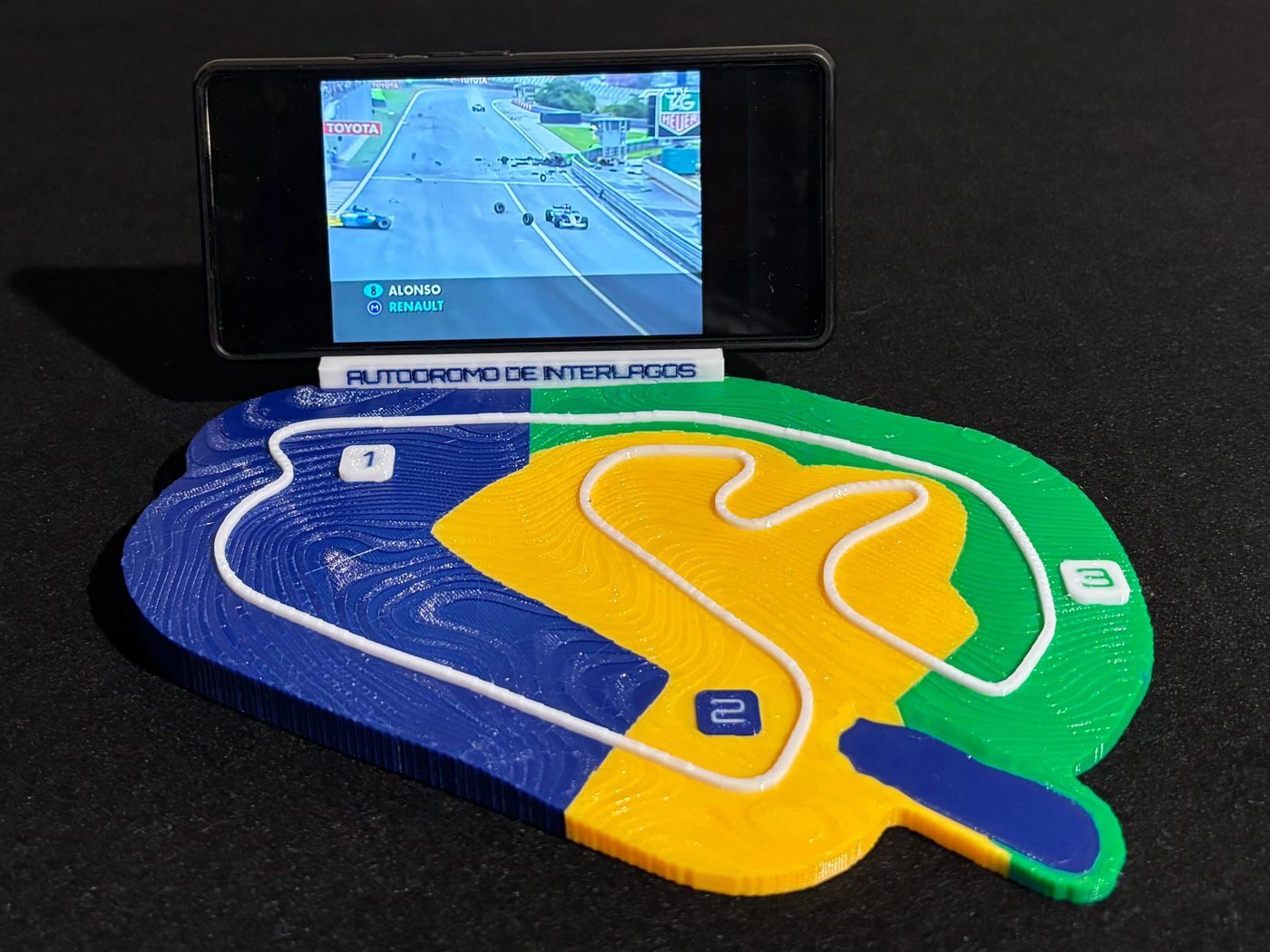
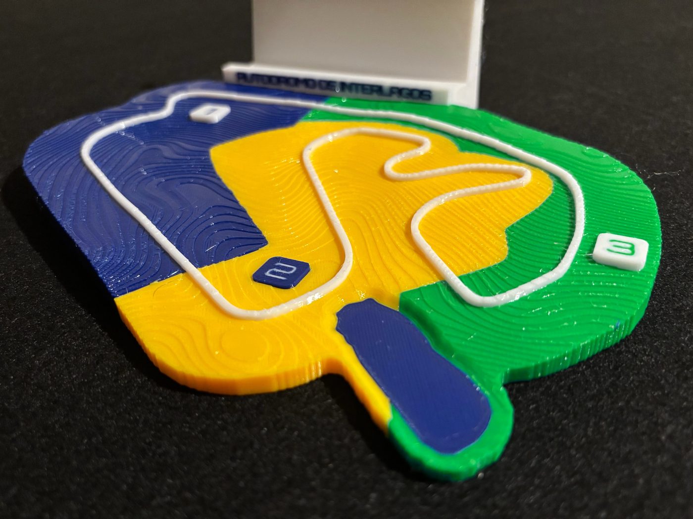
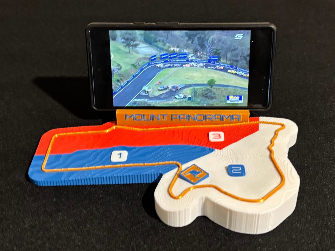
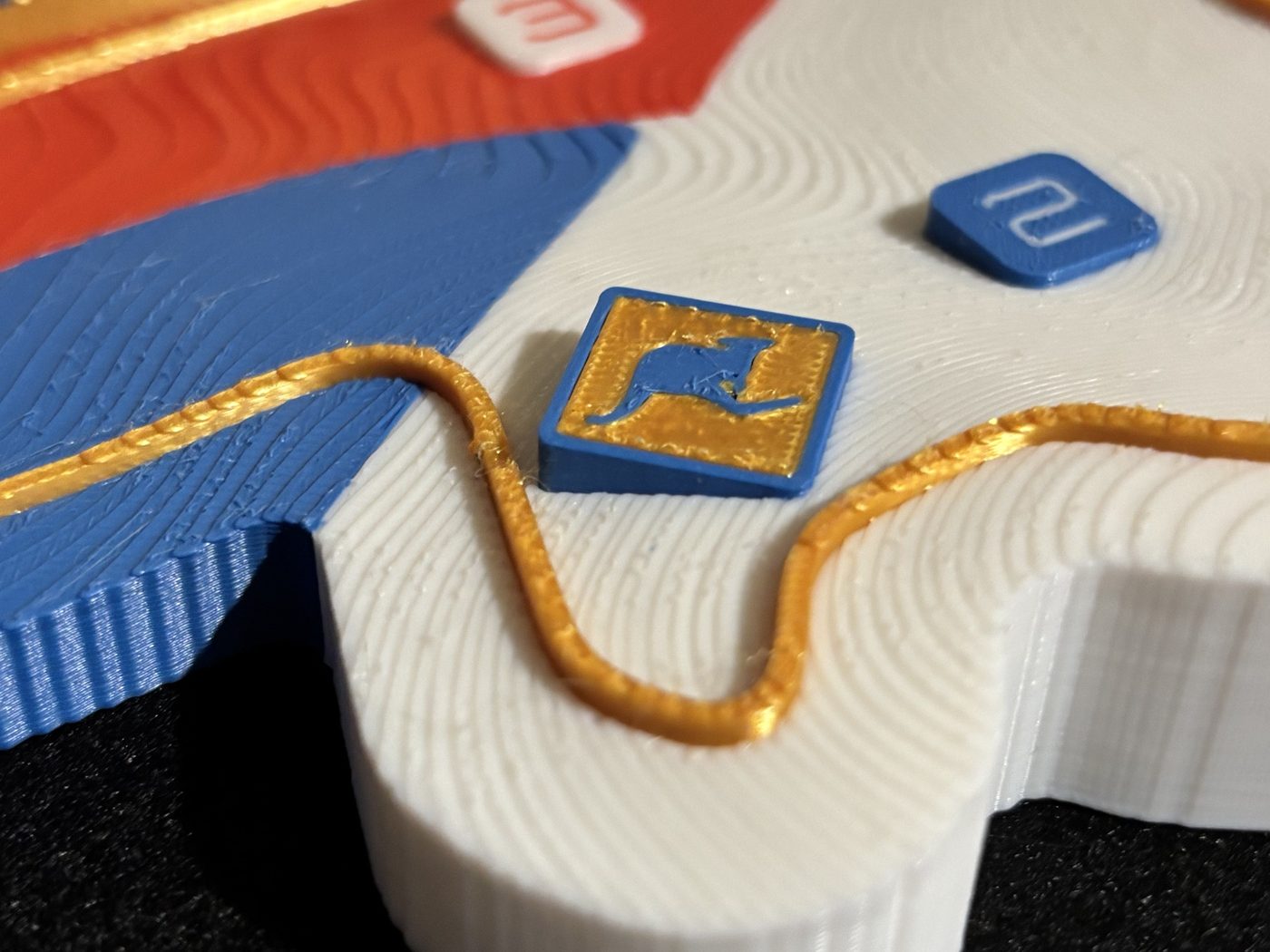
Topographic relief maps of real circuits, built from public elevation data and the real track centreline, coloured by racing sector for a four-filament print. Each one also stands your phone up.

Monaco, Spa, Zandvoort, Monza relief maps with their nameplate stands, on a black mat
Monaco, Spa, Zandvoort, Monza, each printed in four filaments with no supports. 20 km of centreline between them, and three of the four are ready to download.

The ground under the lap

Every contour comes from public elevation data and every corner from the real circuit centreline. A pipeline pulls the open data, drapes the track onto the hillside, and splits the surface into the three racing sectors, so the four colours show how a lap is actually timed.

Elevation comes from national LIDAR where it exists and open global models where it does not; the source is named on every plate. Laps are OpenStreetMap traces, checked against the terrain rather than trusted blind. Sector boundaries are measured from timing and position telemetry, which is why the colours on a plate change where the timing loops are and not where a corner happens to be named.

Circuits

Each plate is the real ground under a real lap. Every number below is measured from the same data the model is built from, including the profile, which is that circuit’s own elevation along the lap, drawn from the line in racing direction.

Circuit de MonacoMonte Carlo, Monaco · shipping
Highlight

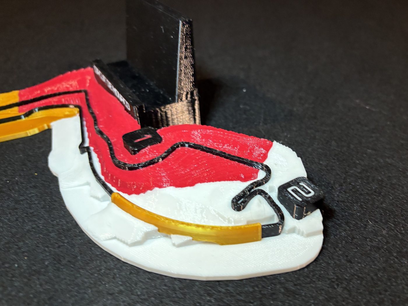
The tunnel. The DEM reads the Monte-Carlo headland as solid ground, so the road dives into it; an abstract gold arch bridges the gap along the Portier curve.

Lap3.31 km
Relief along the lap52.7 m
Elevation sourceEU-DEM v1.1, 25 m
Plate173 × 218 mm
Elevation along the lap, by sector0–53 m
1Sector 1, 1.11 km2Sector 2, 1.25 km3Sector 3, 0.95 km
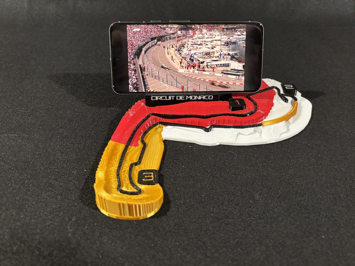
Monaco relief map, printedMonaco relief map, printed
Circuit ZandvoortZandvoort, Netherlands · shipping
Highlight

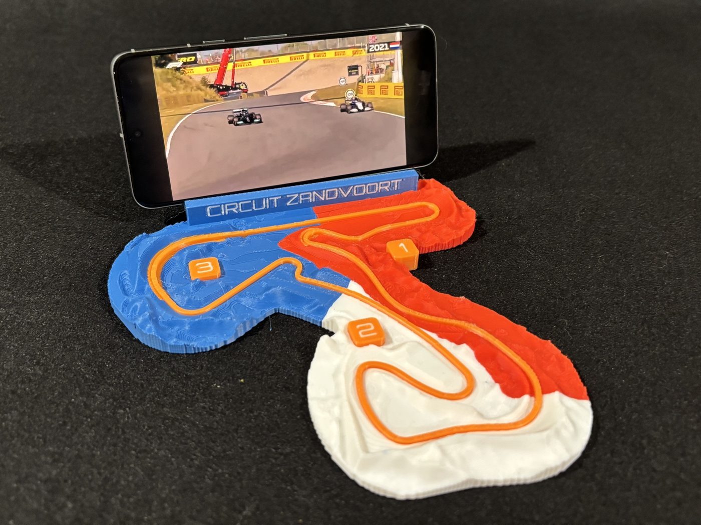
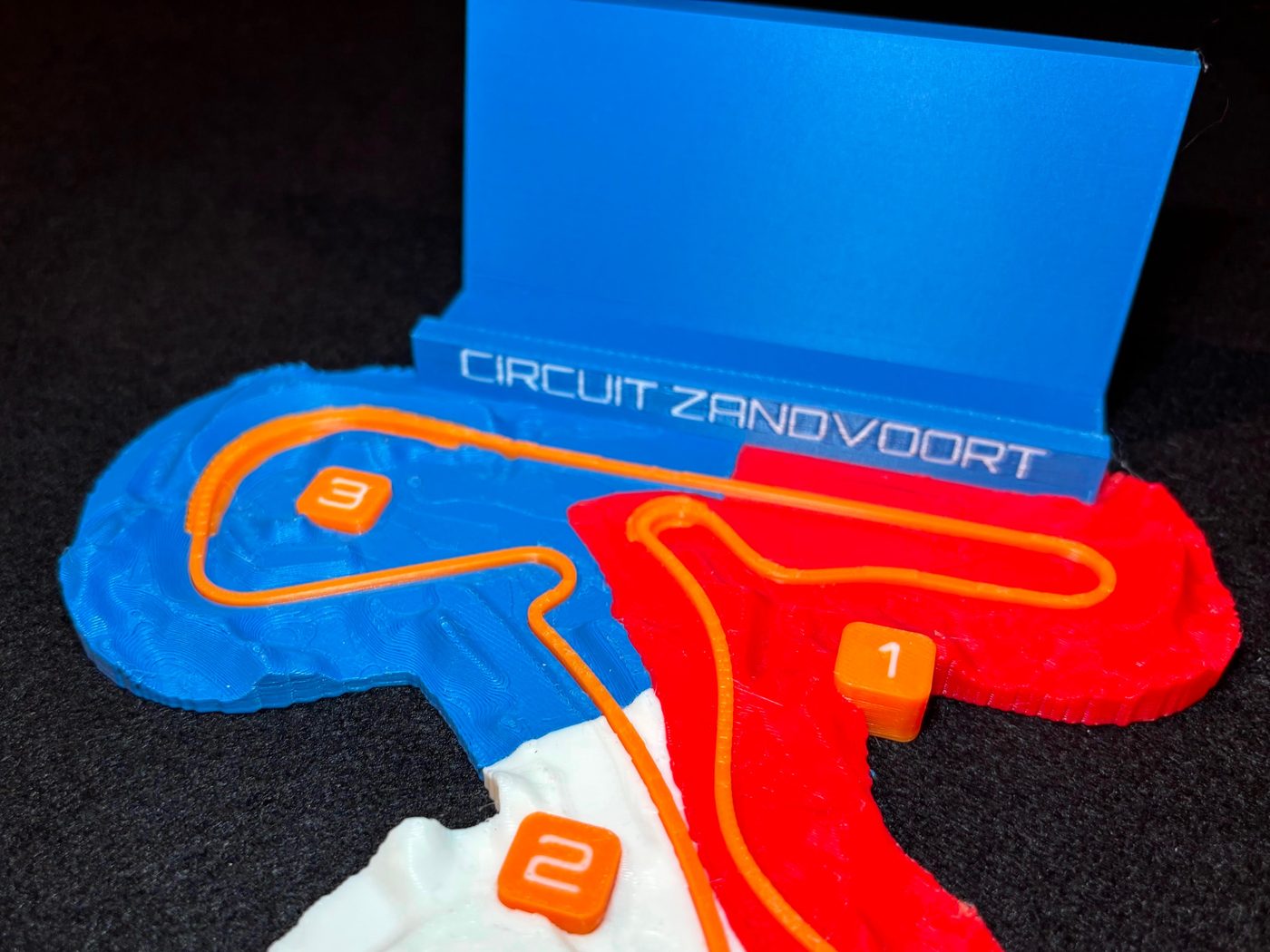
The two banked corners, found in the data rather than drawn. The build cuts a cross-section every few metres and promotes anything over 7° into its own part: exactly Hugenholtz and Luyendijk.

Lap4.24 km
Relief along the lap8.7 m
Elevation sourceAHN4 LIDAR, 0.5 m
Plate188 × 165 mm
Elevation along the lap, by sector3–11 m
1Sector 1, 1.51 km2Sector 2, 1.45 km3Sector 3, 1.29 km
Zandvoort relief map, printedZandvoort relief map, printed
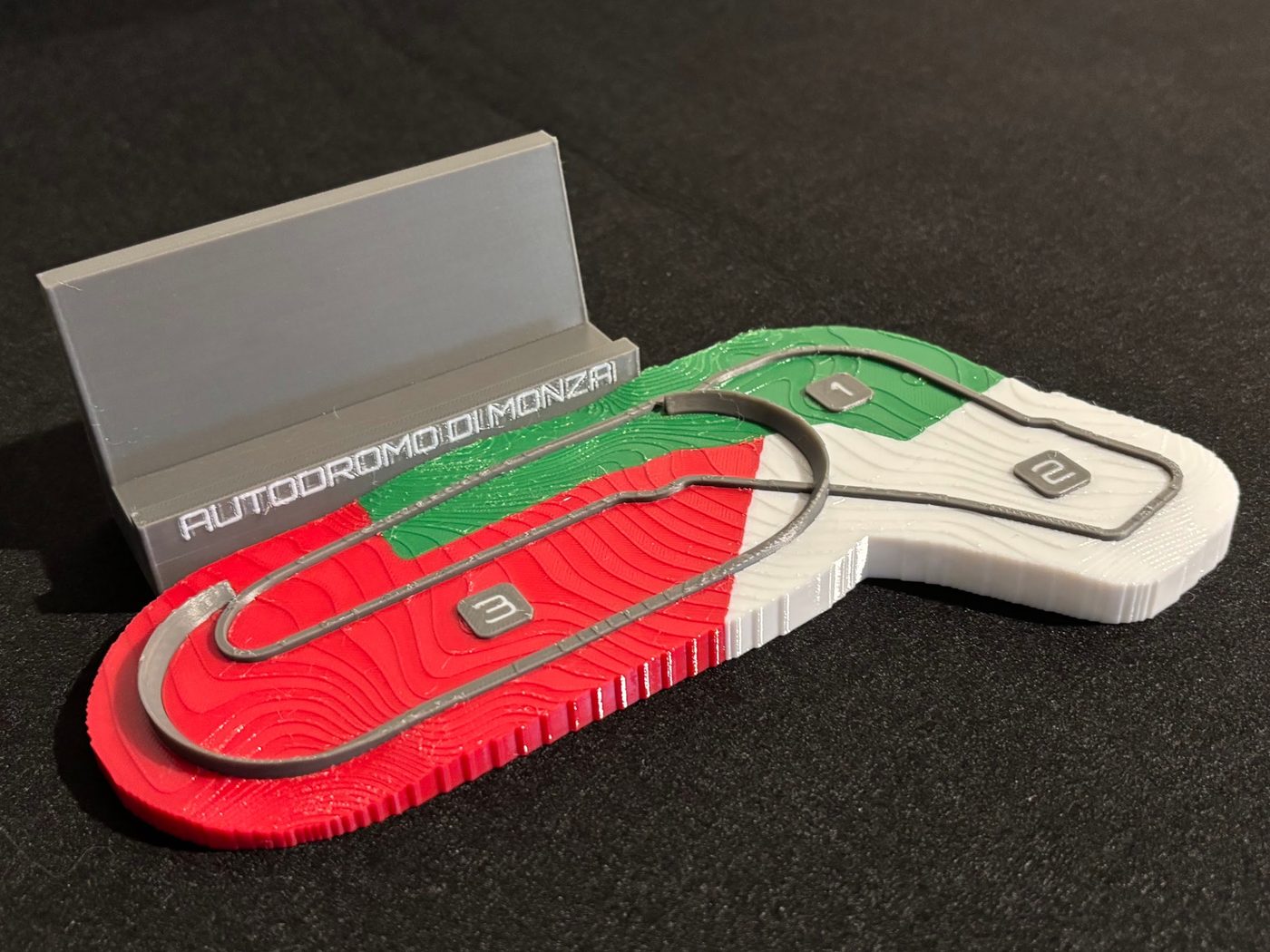
Autodromo di MonzaMonza, Italy · shipping
Highlight

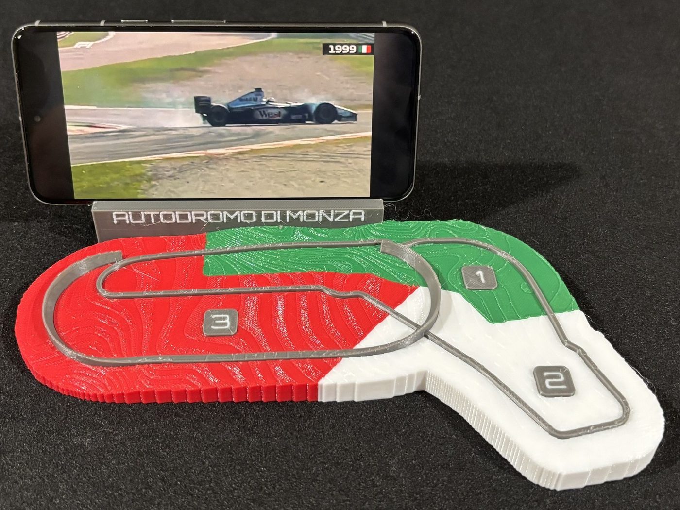
The sopraelevata, the 1955 banked oval. Every bare-earth DEM strips a viaduct by definition, so it is built as geometry from the OSM plan and the documented gradient.

Lap5.77 km
Relief along the lap12.0 m
Elevation sourceTINITALY, 10 m
Plate124 × 209 mm
Elevation along the lap, by sector179–191 m
1Sector 1, 1.90 km2Sector 2, 1.81 km3Sector 3, 2.06 km
Monza relief map, printedMonza relief map, printed

Commissions

A circuit outside the series can be built from the same pipeline. Club and national tracks included, and the layout you actually race rather than the one the map happens to draw.

Which layout
Say the configuration and the direction. A club circuit can publish dozens of layouts and advertise most of them both ways, and a lap run backwards looks entirely plausible until someone who races there sees it. This is the single most likely way to build the wrong circuit, so it is asked first rather than inferred.
Before a quote
The elevation gets checked first. It takes minutes and it answers whether there is a story in that ground at all, which is worth knowing before either of us commits to days of work.
If the ground is flat
You get told. A flat circuit can still make a good plate, but the subject has to become the lap and its layout rather than the terrain, and that is a different object from the ones above. The alternative is quietly shipping a hillside that is not there.
Sector colours
Only where the timing exists to measure them. The splits on these models come from timing and position telemetry, never from corner names, so a series that publishes no sector times gets colour that marks the configuration instead of colour that pretends to mark a sector.
Two ways to buy
An exclusive build, or a cheaper one where Racing Lines keeps the model and may list it publicly. The second is worth roughly a third of the first, because the catalogue entry carries part of the cost.

To have your own circuit built, in the configuration you race, get in touch.

Coming soon

Modelled, and waiting on a print. Some of these have never been printed; the others were, before their sector boundaries were re-measured, which leaves a plate showing boundaries the model no longer has. Each card is the exported model itself, drawn in the filaments the file assigns, until there is a plate worth photographing.

Spa-FrancorchampsStavelot, Belgium · coming soon
Spa-Francorchamps, the exported model
Highlight

Eau Rouge and Raidillon. The steepest thing in the series, so red chevrons climb both sides of the corner that defines it.

SuzukaSuzuka, Japan · coming soon
Suzuka, the exported model
Highlight

The figure-8 crossover. The only one on the calendar, so Sector 2 lifts onto a charcoal bridge deck and passes over Sector 3.

Barcelona-CatalunyaMontmeló, Spain · coming soon
Barcelona-Catalunya, the exported model
Highlight

The climb out of Turn 1 and the long drop through Campsa, on a circuit that reads flat on television and is not.

Red Bull RingSpielberg, Austria · coming soon
Red Bull Ring, the exported model
Highlight

Styrian hillside, and the second-steepest lap in the series. Geometry is built; sector calibration and gallery art still to come.

How one is made

  1. 1

    Terrain

    A digital elevation model is fetched around the circuit, wide enough that the relief outline never clips flat against the grid edge. Bare-earth LIDAR is preferred; radar models get read sceptically, because over woodland they measure the canopy and not the ground.

  2. 2

    Centreline

    The lap is assembled from OpenStreetMap ways in racing order. Where a circuit has no single relation, corners are sequenced by hand and the result is checked against the published length.

  3. 3

    Relief

    The terrain becomes a heightfield with a vertical exaggeration chosen per circuit, judged by the surface slope it produces rather than by the multiplier. A flat circuit needs more; a steep one needs almost none.

  4. 4

    Export

    Sectors, ribbon, nameplate and markers become separate watertight parts in one shared coordinate system, written to a 3MF with a filament per part.

Printing

The relief is a heightfield and every added face is vertical or up-facing, so nothing overhangs and nothing needs holding up.

MaterialPLA or PETG, four colours
Layers0.16 mm (0.2 is fine)
Perimeters3
Infill15 % gyroid
SupportsNone. A skirt is plenty; the base is flat
Bed256 mm
VariantsPhone stand, title card, wall mount

Get one

Two ways, and the first one is free.

Print it yourself

The models are free to download. Print them on your own machine, in your own colours, on any four-colour setup that clears a 256 mm bed.

Three circuits are listed so far, on Snapmaker and on MakerWorld, and each one is linked from its own entry above. The rest go up as each plate is printed, photographed and listed.

Have one printed

A plate takes six to eight hours on a four-colour machine, and not everyone who wants one owns a printer. Racing Lines does not sell finished plates yet, and whether it starts to is a question of how many people ask. Say which circuit and I will keep count.

No money changes hands and nothing is promised. It is a headcount, and it decides whether this becomes something you can buy.

Licence
CC BY-NC-SA 4.0
You may
Download, print, modify and share these models, including remixes, for personal and non-commercial use.
You may not
Sell the models or prints of them, or use them in a commercial product or service, without permission.
You must
Credit Racing Lines by small rain, share any remix under the same licence, and keep the OpenStreetMap ODbL attribution with the circuit geometry.

The non-commercial term binds downstream use, not the author: commissions and prints sold by Racing Lines are unaffected. To use a model commercially, ask; the answer is often yes.